top of page
Unfinished

Tucson AccessTrails
Explore Regional Trails and Parks


Tucson AccessTrails
Sabino Canyon Recreation Area
Phoneline Trail
Signage and Wayfinding
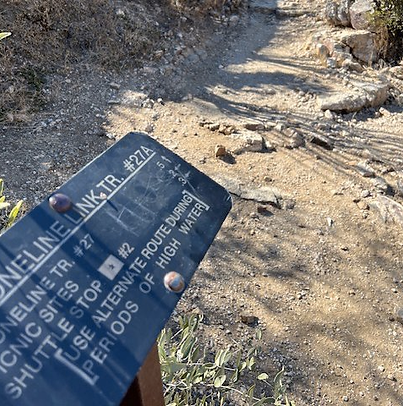
A sign marks the southern
trailhead with mileage to other trails and shuttle stops
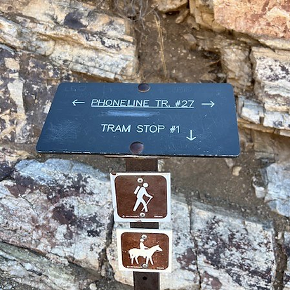
A sign along the
Phoneline Trail indicates the
reroute to a shuttle stop
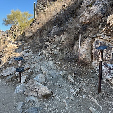
Signs at a fork in the trail offer trail names and mileage along the route
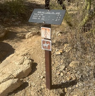
A sign gives directions and
mileage to trails and features
along Sabino Creek

A sign along Sabino Road directs hikers to the creek, the Phoneline Trail, and features

A sign marks the boundary of
the Coronado National
Forest wilderness
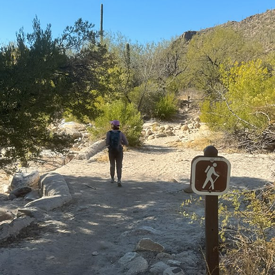
A sign directs hikers along the winding route along Sabino Creek
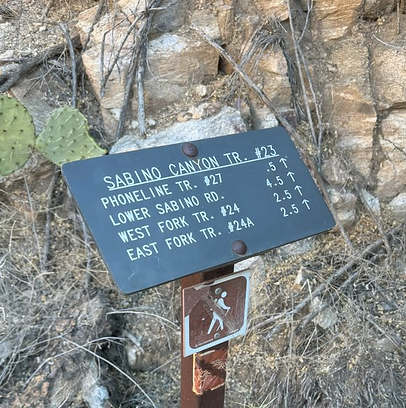
A sign gives directions to the northern Phoneline trailhead from shuttle Stop #9
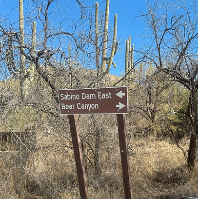
A sign along the Lower Sabino
Canyon Rd. provides information about other stops
bottom of page
